

Folded Map: Hawaii State Map Map – Folded Map, March 1, 2010
Product ID: 10691528
Buy anything from 5,000+ international stores. One checkout price. No surprise fees. Join 2M+ shoppers on Desertcart.
Desertcart purchases this item on your behalf and handles shipping, customs, and support to SINGAPORE.
B**2
These are great maps. For Oregon and Washington
Can't find a map at a service station anymore. These are great maps. For Oregon and Washington, they have the east on one side and the west on the other.
D**D
Helpful on dark roads with no cell signal
I won't tell you the story, but I learned that cell signals aren't everywhere - there are dead zones in inconvenient places - like long, dark roads to little towns.My experience with road maps is that they unfold from envelope size to billboard size in seconds. However, I can never get them back to their original folded size. The billboard map inside a dark car can be challenging to read.I learned to carry a small, laminated map when I was stationed in Germany and benefited so much that I still have the map!Texas is a big and has lots of towns. No, not every town is on the map, but just knowing where the next listed town is on the map is very helpful when it's dark and there is no cell.I took away a star because the map makers cut the map into two pieces with the top of Texas at the bottom left of the map. I understand why, but Texas pride cost them a star.
H**E
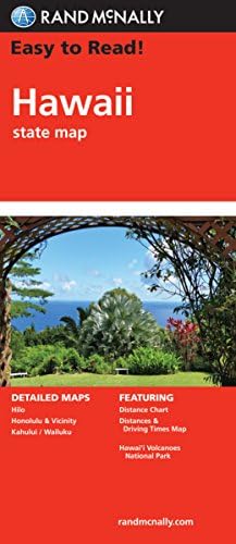
Rand McNally's Hawaii...
Rand McNally's Hawaii State Map advertises itself as large scale and easy to read. It is fair to say that is truth in advertising. On a large, color, two-sided map sheet, the reader can find all the island in the Hawaiian chain, including the small islands and the atolls such as Kure and Midway, well to the Northwest of the main islands. Coverage of the principals is at a level of detail sufficient to see major terrain features, towns and roads.The "Big Island" of Hawaii, with its Hawaiian Volcanoes National Park, gets more detailed coverage, including insets of the town of Hilo and the park itself. Oahu, the most popular tourist destination, includes detailed coverage of Honolulu. The map sheet includes indices of the major towns and tourist attractions. There is a really handy inset showing time-distance factors between the island and between the islands and the mainland.This is a large sheet, roughly 36 inches by 36 inches, probably a little clumsy to handle in the front seat of a car. It is probably not detailed enough for navigation by car or on foot away from the main roads, and definitely not for use at sea. It is made of untreated paper that is unlikely to survive close encounters with rain, spilled coffee, or pool water. It is however likely to be sufficient for planning a vacation in Hawaii and for driving directions on the main roads. It is recommended on that basis.
C**S
I like the large scale used and helps considering my vision ...
I am a roadmap collector and recently bought the RandMcNally maps for all 50 states, plus a US Interstate map. I like the large scale used and helps considering my vision is less than ideal. I also use these maps to supplement the official maps that I also have for the entire country
A**K
Maps
Do not buy these, they were either very old or were exposed to heat some where because the were brittle and either tore very easy or just fell apart. I should have sent them back.
Y**W
Too dense to use
The streets are too small to have street names on them. I wanted to learn the lay of my new city but it turns out I couldn't get enough detail with this map.
D**R
Useless to me
This map was very outdated and useless to me. Many streets in the area that I live in was not on the map.
S**N
double sided
half the map on each side. other then that it is good to see, plus it shows where camping spots are located.
Trustpilot
1 week ago
1 month ago